The cartographic narrative of Hannibal’s road between Cartagena and Italy during the 2nd Punic War is the key activity of the BESH project.
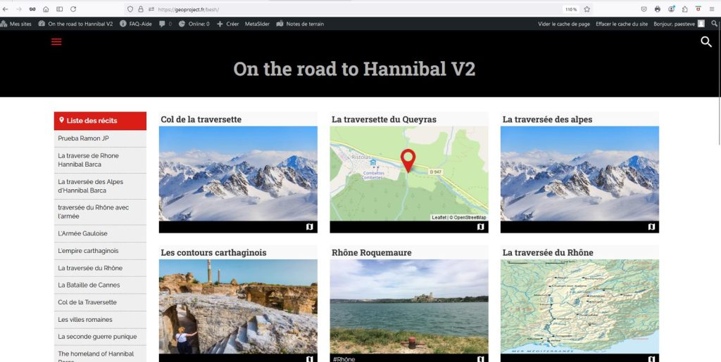
Geoproject is the platform chosen to host the dossier. This WordPress-5 tool developed by the Nîmes Media Library offers a free publishing and resource portal. Training for partners in using the platform is provided during the first two mobilities of the BESH project.
Each college must first identify on the road segment it has assigned itself the stories, maps and markers (sites) that will constitute the framework of the dossier. In a second step, the students will collect and structure the digital information on each site identified: texts, images and links. Finally, this information will be reported in Geoproject.
The cartographic file thus created can be viewed on the screen to follow the journey of discovery of Hannibal’s road, and also be automatically published in the form of a booklet and reproduced. The final dossier in English constitutes a deliverable of the BESH project intended to be distributed in the fall of 2025 to local, national and European institutions and associations in order to promote the project.